
Ficsit does not waste.

If the headline doesn't specify a party, you know which party it's going to be...
Openstreetmap has a load of tools to help with this, as we used to use this technique for surveying.
For example, JOSM can geolocate photos against a GPX file, and display them over your map.
"your contract legally compels you to harvest this artifact"
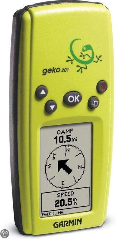
It tells you which direction something is in, but can't help plot a route to get there.
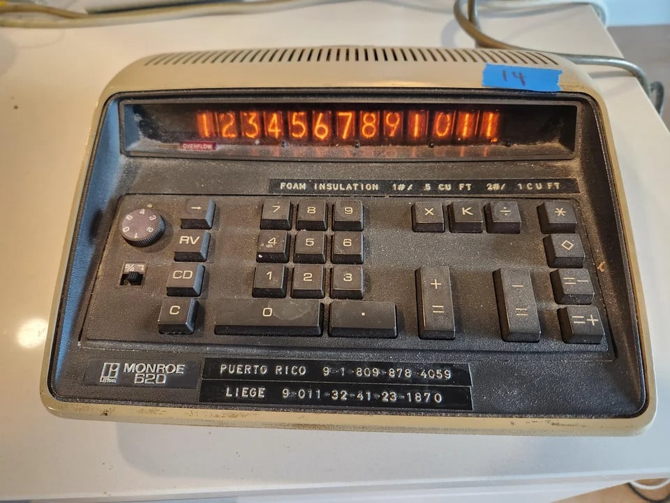
I have no idea - I saved the picture with the idea of making a JavaScript image-map replica to play with, but haven't been able to find any documentation or manuals for it yet?
Don't you need at least AS numbers and BGP (or equivalent multiple independent networks) for it to be an "inter"net?
re #7, I hope they are also saying no 'secret questions' to reset the password?
"we refer you to the answer given in Arkell vs. Pressdram"
Ficsit does not waste.