this post was submitted on 30 May 2024
6 points (100.0% liked)
Preppers/survival
701 readers
1 users here now
Also about survival, urban survival, grey man, Preparedness, Self-sufficient, Resilient, Adaptable, Low profile
A place to share information on emergency preparedness as it relates to disasters both natural and man-made.
Would you survive in the event of economic, political and social collapse? What natural disasters such as tornadoes, earthquakes or hurricanes are prevalent in your area? What can you do? What should you be doing now? What do you need to know/have?
This is a community for those who think that it's better to be safe than sorry, and that we need to start preparing now.
founded 2 years ago
MODERATORS
you are viewing a single comment's thread
view the rest of the comments
view the rest of the comments

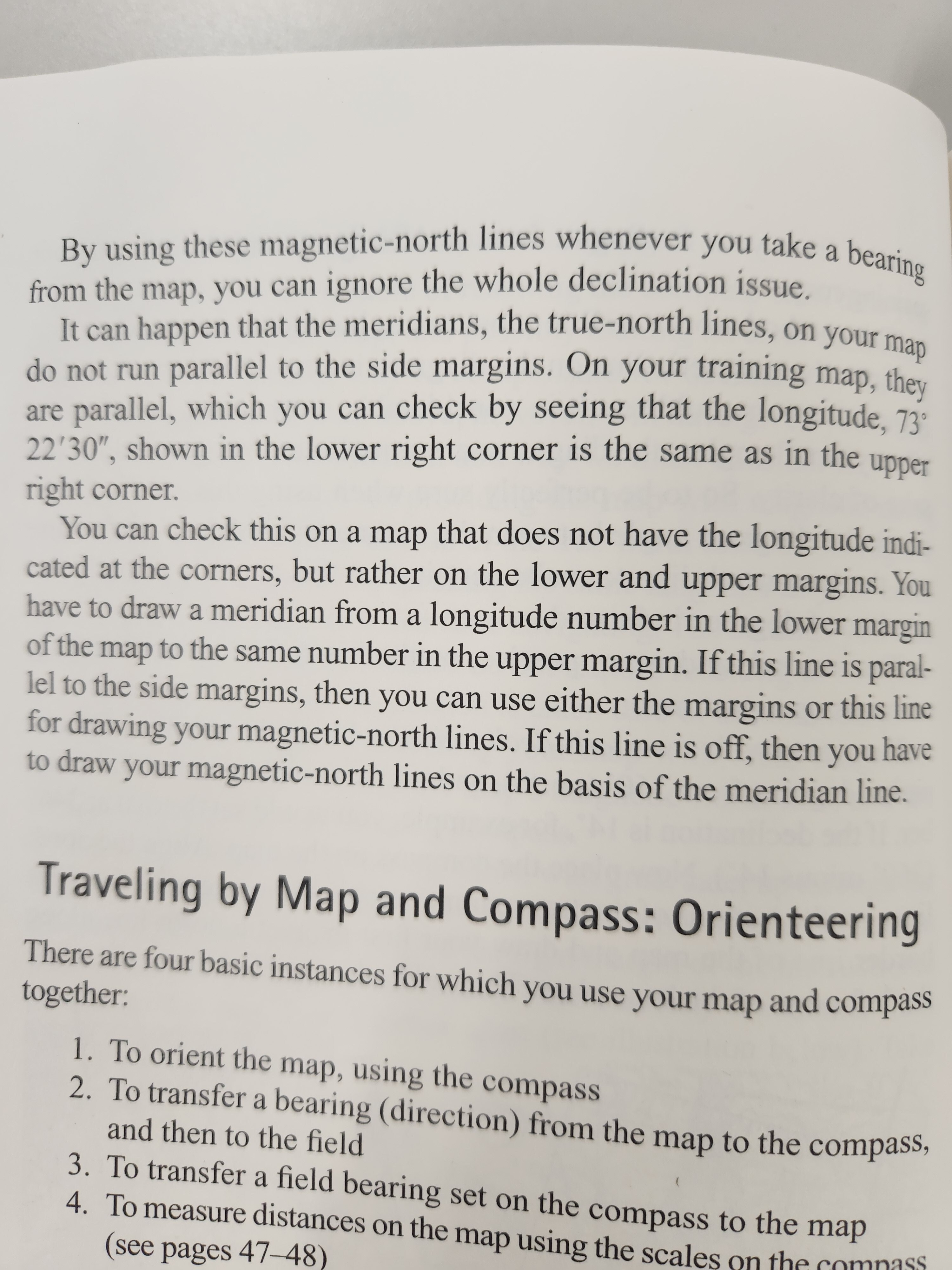
Thanks! This is exactly the answer I was hoping for. Do minutes and seconds have to align, or just minutes?
Depends on how accurate the map is. If possible, align minutes and seconds. Basically what you're doing is drawing on your own longitude line.
For anyone else who stumbles across this, All longitude lines are true north lines, meaning they point to the "true" North Pole, or the top of the globe, and converge there. However magnetic north moves year by year- due to the molten core of the earth shifting and other factors. Maps will typically come with a year they're printed, and sometimes with the declination you need to adjust by (is, 0.3deg/yr since it was printed), otherwise you need to look it up.
If you're enjoying learning and want to put your skills to the test, check out orienteering races, or adventure races. They run across most of the world, and the shorter ones are a great way to test out your skills. I'm a huge fan of them.