this post was submitted on 10 Dec 2024
309 points (97.2% liked)
Map Enthusiasts
3651 readers
379 users here now
For the map enthused!
Rules:
-
post relevant content: interesting, informative, and/or pretty maps
-
be nice
founded 2 years ago
MODERATORS
you are viewing a single comment's thread
view the rest of the comments
view the rest of the comments

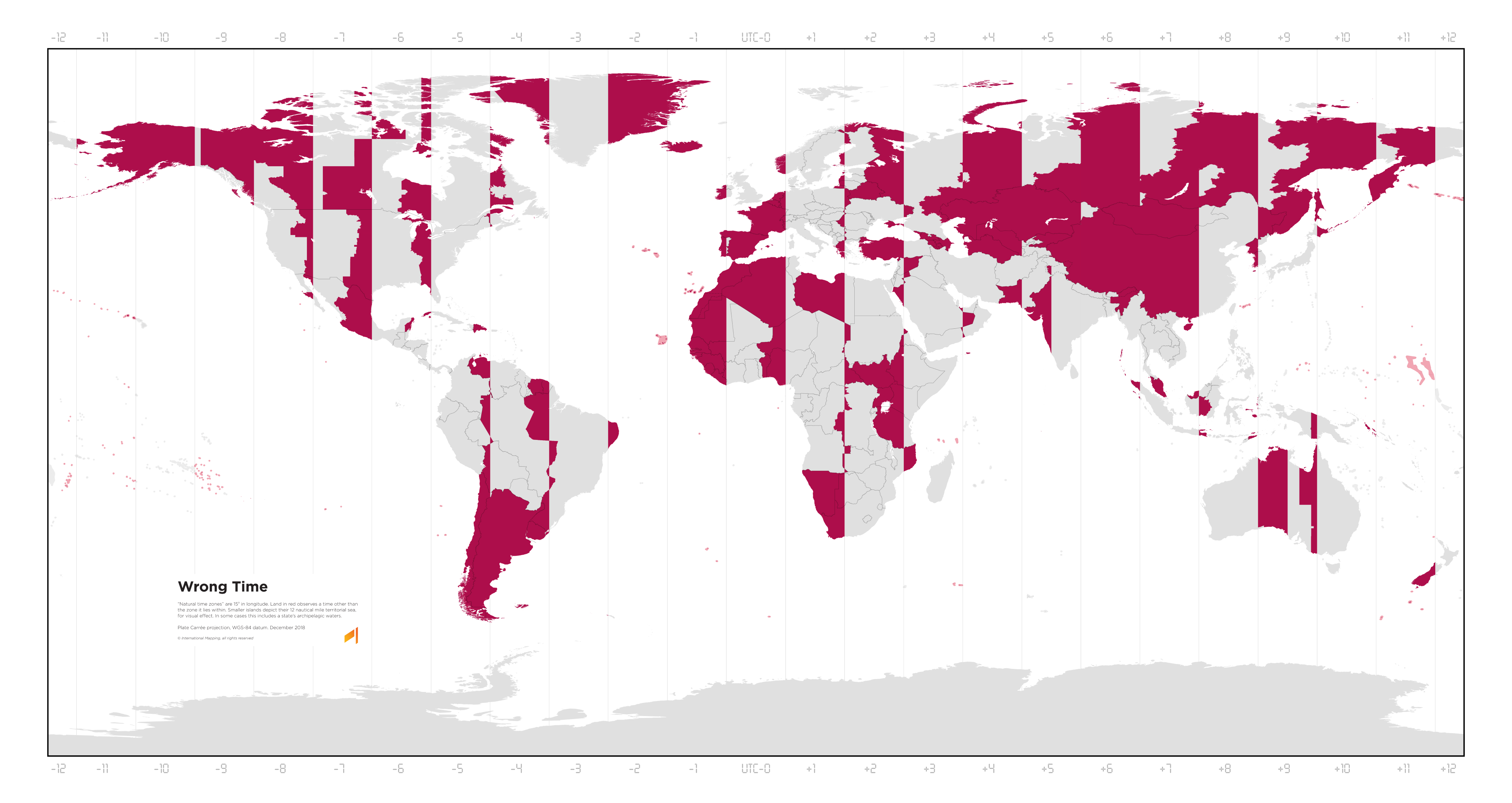
So looking at the US map, it looks like a lot of the red zones are because they've arbitrarily defined the borders of the time zone. But US time zones are mostly concerned with making sure that the country is roughly evenly spaced across time zones. Really the northeastern part of the country is what's out of alignment.
No? We're perfectly fine!
I lived in New England for a couple of decades. Trust me, you're not.
Timezone-wise though?
If you like it being dark by 4